top of page


Our Services > Custom Feature Extraction
We have the ability to extract features from imagery into a CAD file. From vegetation type and land-use cover to individual buildings, outlines of important places, trees and fences in developed areas, we can extract and deliver fully attributed vector features that perfectly overlay the imagery itself.
You have the option of providing your imagery, Old perper maps from your archive or we can use our high-resolution satellite imagery for you. The output data can be exported to different vector format of your choice.
Extracted Features Overlayed on the Image
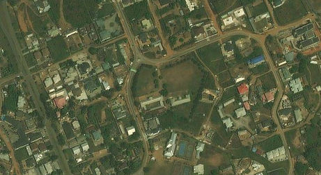
Satellite Imagery

Custom Feature Extraction


bottom of page